From aerial data
to clear action.
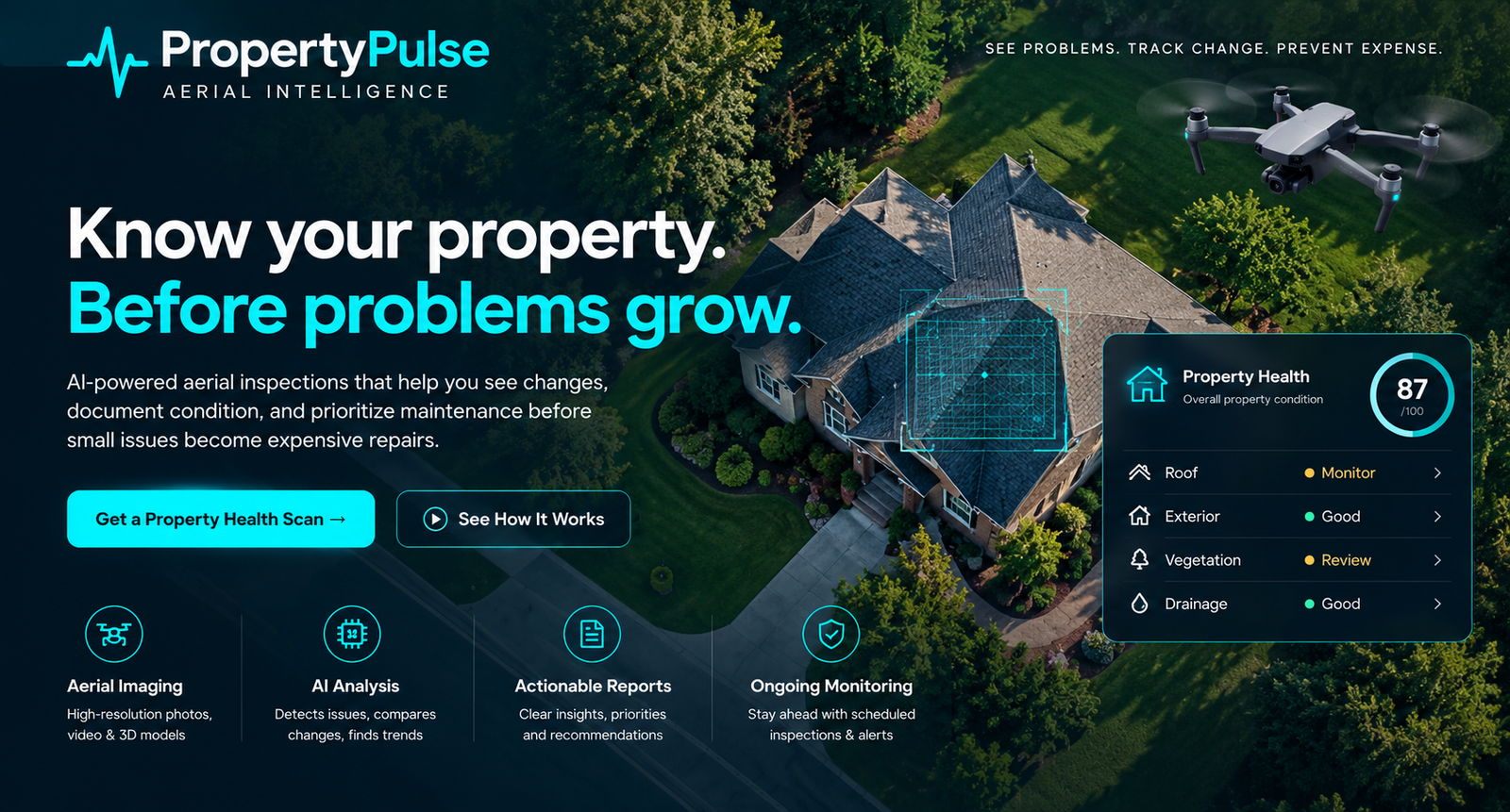
PropertyPulse turns a drone flight into a repeatable property intelligence process. Capture condition. Analyze what matters. Document the evidence. Track change over time.
Capture
High-resolution aerial imagery documents the roof, exterior, drainage, vegetation and other visible property features from repeatable viewpoints.
Analyze
AI-assisted visual review helps surface visible conditions, potential concerns, comparison points and changes that deserve human attention.
Report
Findings are organized into a concise Property Health Intelligence Report with visual evidence, condition notes and practical priority levels.
Track
Recurring inspections create a visual history of the property, making change easier to recognize before small issues become expensive ones.
A living visual record of your property.
Each inspection adds context to the next—helping you see problems, track change and prioritize maintenance with better information.
Construction Progress Monitoring
See progress.
Document change.
Keep everyone informed.
A clear view of your project. From groundbreaking to completion.
Scheduled aerial documentation gives owners, contractors and project teams a consistent visual record of the jobsite. Compare milestones, see what has changed and share progress with stakeholders—wherever they are.
Tell us about your site, schedule and reporting needs.

Build a visual history your whole project team can follow.
- Baseline
- Milestones
- Completion
Repeatable flights
Document your site from consistent viewpoints, on a schedule aligned with your project.
Progress comparisons
Review imagery across visits to see visible changes in site work, structures and exterior conditions.
Milestone documentation
Keep a dated visual record of key stages, from initial site conditions through project completion.
Stakeholder reports
Bring selected imagery and progress notes into clear updates for owners, contractors and project teams.
See your property
more clearly.
Request an aerial Property Health Scan and receive a clear visual record of visible conditions around your property. Know what deserves attention before small issues grow.
Request your Property Health Scan
Tell us a little about the property and what you want documented.