
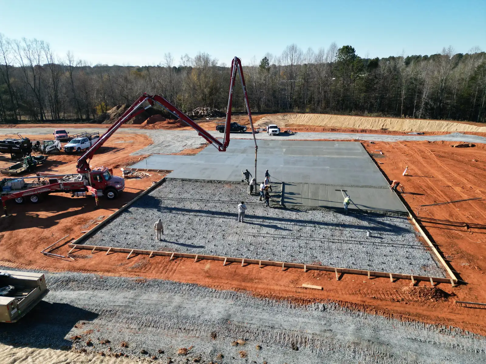
Two ways GroundTrace can help.
Both start with the same idea: photograph from the same places on a schedule, then turn the photos into a clear, dated record.
Construction progress monitoring
For general contractors, developers, owners and project managers.
- Dated aerial photos from the same viewpoints every visit
- Side-by-side comparisons and milestone records
- Concise visual reports owners and project teams can follow
Property monitoring
For homeowners, property managers and businesses.
- A baseline record of roofs, drainage, vegetation and outbuildings
- Repeat visits that show what has changed
- Storm documentation: a dated visual record after severe weather
Not sure which fits? Tell us what you need and we will point you the right way.
The report is what you are really getting.
Anyone can fly a drone. What matters is what you can do with the photos afterward. Every GroundTrace visit becomes a structured, dated report that is easy to read, easy to share and easy to compare with the last one.
-
Same viewpoints
Repeat flights from matching positions so change is easy to see.
-
Before and after
Side-by-side photos from earlier visits, with dates.
-
Plain-English summary
A short summary and next steps you can read in a minute.
-
Honest scoring
The score counts only what was actually assessed, and says so.
AI helps; a person decides. AI helps organize observations, but every finding is reviewed and approved by a person before it reaches a report.
From aerial photos to clear action.
A repeatable process turns images into organized, reviewable information and a historical visual record.
-
Capture
Clear aerial views of the site or property from useful, repeatable perspectives.
-
Analyze
Visible conditions and changes are reviewed using structured workflows, with AI assistance where appropriate.
-
Report
Observations become concise visual documentation with supporting photos and suggested next steps.
-
Track
Each visit is added to the record so you can compare conditions over time.
Built by someone who knows the job site.
GroundTrace comes from decades of work in construction, including civil sitework. That experience shapes what gets photographed and how reports are organized, by phase, zone and milestone. Findings are worded plainly and stay within what the photos show.
- CertifiedFAA Part 107 remote pilot
- ExperienceDecades in construction and civil sitework
- CoverageWestern NC and Upstate SC
- ReportsVisual documentation, reviewed by a person
Every visit adds to the record.
A baseline shows what is visible today. Repeat visits add context. Over time, separate flights become an organized history of a site or property.
- Baseline
Initial aerial documentation
Establish useful viewpoints and document what is visible now.
- Follow-up
Compare what changed
Review new photos against earlier records and note meaningful differences.
- Event
Storms and milestones
Keep dated photos around severe weather, repairs or construction stages.
- History
A property or project record
Turn isolated flights into one organized history.
Tell us what you need to see, document or track.
Describe the project or property and what you want to keep an eye on. We will recommend a schedule that fits.
Prefer to talk first? Call (864) 680-1764 or email info@groundtraceaerial.com. Serving Western North Carolina and Upstate South Carolina.